Waihemo Shag River
About the catchment
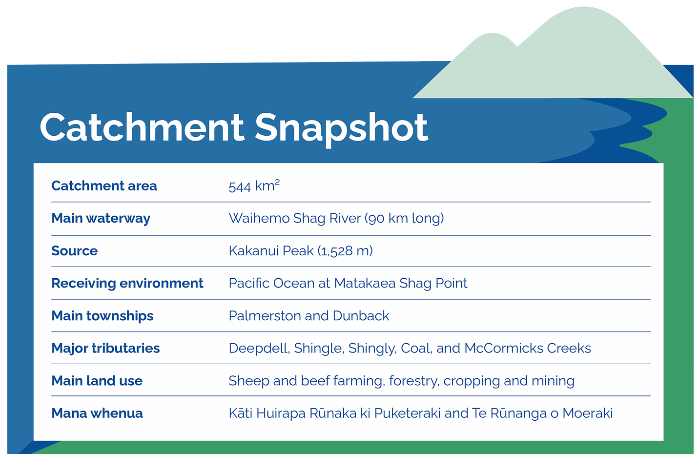
The Waihemo Shag River is one of East Otago's largest catchments, draining approximately 544 km² from the Kakanui Mountains to the Pacific Ocean at Matakaea Shag Point. In 2021, the river's official name was updated from Shag River (Waihemo) to Waihemo Shag River.
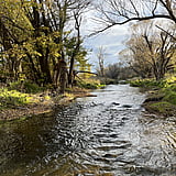
The river rises on the slopes of Kakanui Peak and flows almost 90 km through a diverse landscape of mountain country, rolling hills, farmland, and river flats before reaching the coast. Major tributaries include Deepdell Creek, Shingle Creek, Shingly Creek, Coal Creek, and McCormicks Creek.
The catchment is naturally water-short, with periods where evaporation exceeds rainfall. Sheep and beef farming is the dominant land use, alongside forestry, cropping, and mining activities. The catchment supports a wide range of environmental, cultural, recreational, and economic values.
Kāti Huirapa Rūnaka ki Puketeraki and Te Rūnanga o Moeraki are mana whenua for the area. The river, estuary, wetlands, and tributaries have long provided important cultural and ecological connections across the landscape.
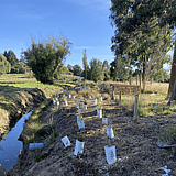
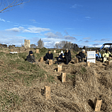
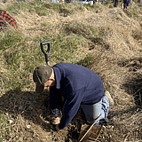
Today, catchment projects focus on improving water quality, enhancing biodiversity, restoring habitat, supporting native species, and helping landowners identify practical actions that benefit both farming and the environment.
Sign up to our collective newsletter covering all the latest updates across our catchments.