Waipaku Post Office Creek
About the catchment
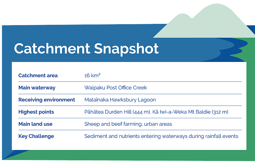
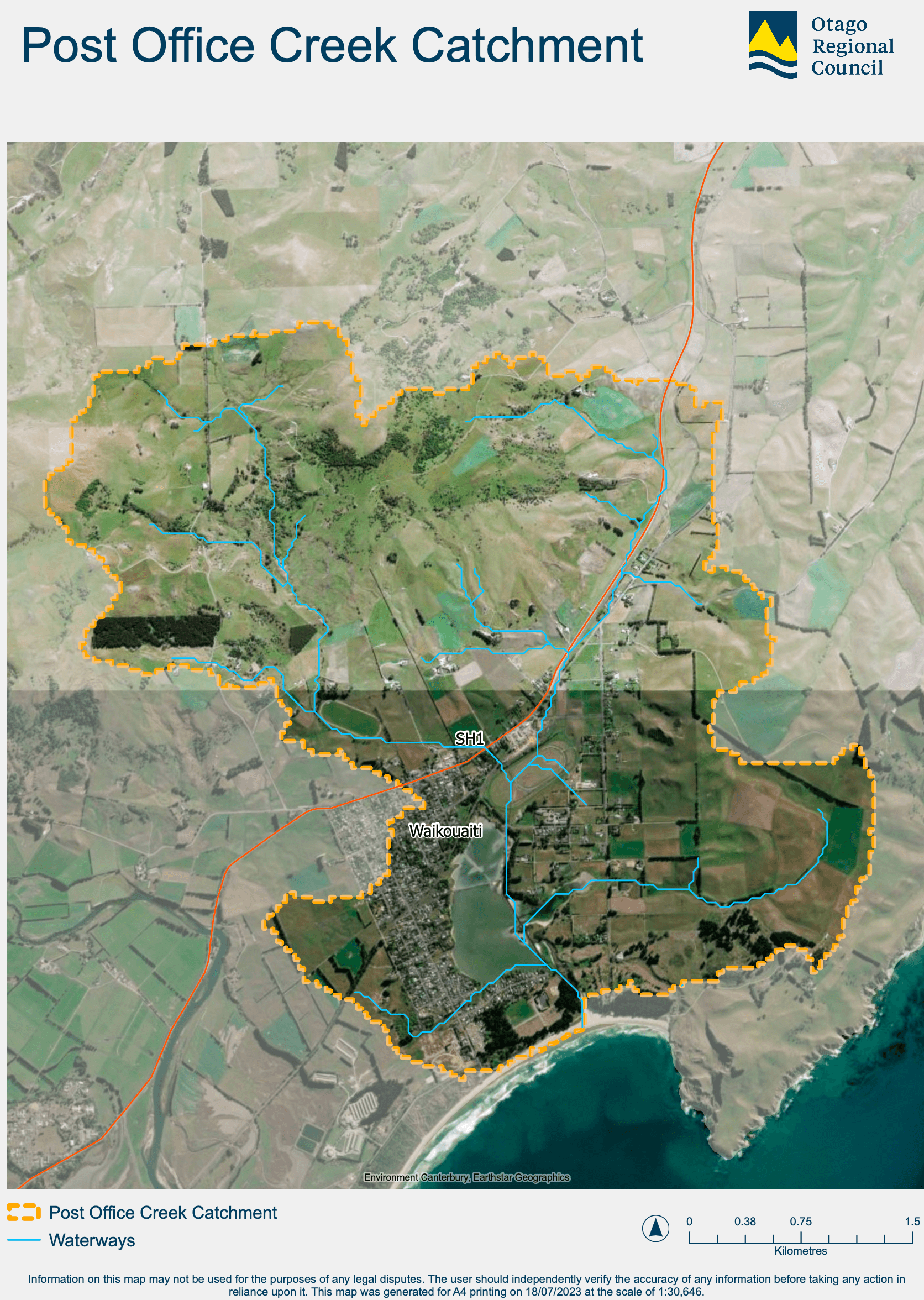
Waipaku Post Office Creek is a small 16 km² catchment where community, schools, and mana whenua have come together to better understand and improve local water quality. The catchment flows through Waikouaiti township and into Mataīnaka Hawksbury Lagoon, a regionally significant wetland, an established mahika kai reserve, and an important wildlife refuge.
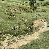
The catchment is shaped by two prominent volcanic hills, Pāhātea Durden Hill and Kā Iwi-a-Weka Mt Baldie, with the creek descending from steep headwaters through rolling farmland and the Waikouaiti Racecourse before reaching the lagoon.
Land use is predominantly sheep and beef farming, alongside lifestyle blocks and urban areas around Waikouaiti township. The steep nature of the upper catchment means water moves quickly during heavy rainfall, carrying sediment, nutrients, and other contaminants into the creek and lagoon.
Mataīnaka Hawksbury Lagoon is recognised for its ecological and cultural significance. As the receiving environment for the catchment, the health of the lagoon is closely linked to the condition of the waterways and land upstream.
Water quality project
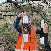
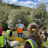
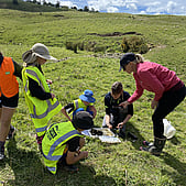
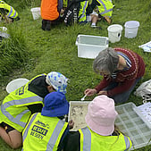
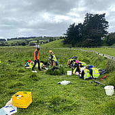
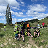
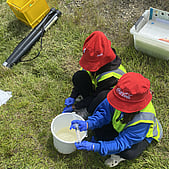
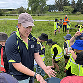
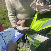
In 2024, a project with Waikouaiti Primary School and Kāti Huirapa Rūnaka ki Puketeraki began, supported by the Otago Participatory Science Fund. The project aimed to build a clearer picture of water quality in a catchment where little previous monitoring work had taken place. Over nine months, students carried out regular monitoring across three sites in the catchment, measuring clarity, temperature, and undertaking chemical water testing.
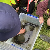
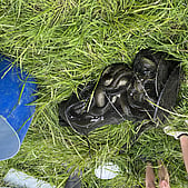
They also explored stream health through eDNA sampling, fish and eel surveys, and in-stream assessments. The project built a detailed picture of the catchment’s health, with students presenting their findings back to the community. Findings were shared with landowners, the wider community, and local rūnaka.
The project also helped students and the wider community build a stronger understanding of how land use, waterways, biodiversity, and catchment health are all connected.
Results showed sediment and phosphorus losses were key challenges, helping identify where restoration work could have the greatest impact. This led to further work using GIS modelling to map the catchment and identify priority areas where action would have the greatest impact.
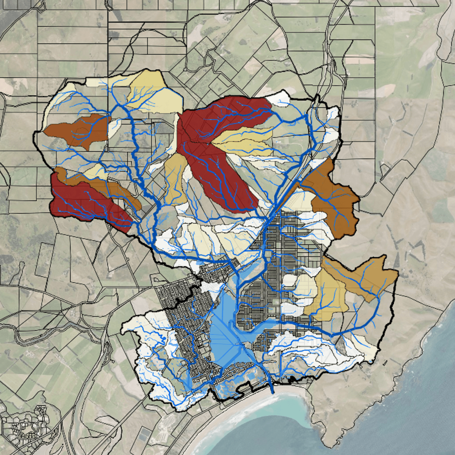
Dark colours indicate priority sub-catchments for sediment and phosphorus loss.
From this work, a number of priority sites were identified for mitigation by the team at Collaborations.
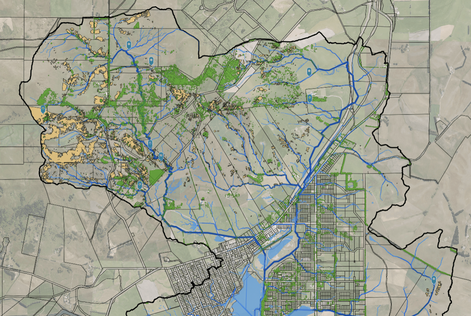
The blue tags represent the priority sites across the catchment, including the DCC Hawksbury Bush water reserve.
Site visits with landowners, resource professionals, and catchment group members confirmed the Hawksbury Bush water reserve as a strong opportunity for restoration.
The focus is now on practical action. Plans are underway to develop this site into a community planting area, working alongside Dunedin City Council, Kāti Huirapa Rūnaka ki Puketeraki, landowners, the school, and partners to restore habitat, reduce sediment loss, and improve water quality.
Future work in the catchment is expected to include native planting, community planting days, fencing, wetland restoration, sediment trap construction, ongoing water quality monitoring, biodiversity restoration, and education activities that help connect people with the catchment.
The project continues to build momentum, with students, landowners, and the wider community actively involved in understanding and improving their catchment.
Student project presentation
Waikouaiti Primary School students documented their learning, monitoring, and findings throughout the project in a detailed presentation developed alongside project partners and the wider community.
Hawksbury Lagoon
The East Otago Catchment Group has recently taken over support of the Friends of the Hawksbury Lagoon group, including coordination of the predator trap network established around the lagoon. Interested in getting involved? We are always looking for keen folks to help with checking and resetting traps or hosting a trap in their backyard. Get in touch at eocatchmentgroup@gmail.com to learn more.
Learn more about the Mataīnaka Hawksbury Lagoon Wildlife Refuge here: Hawksbury Lagoon Wildlife Refuge
Interactive Catchment Map
Explore our interactive mapping tool to view waterways, landforms, wetlands, and other key features across the catchment to support planning and restoration efforts. This tool has been developed by Collaborations for the East Otago Catchment Group. It's designed to support landowners and the East Otago Catchment Group in decision-making, and to provide guidance for mitigation options.
Waipaku Post Office Creek catchment water quality report
Sign up to our collective newsletter covering all the latest updates across our catchments.